 Catriona Penman

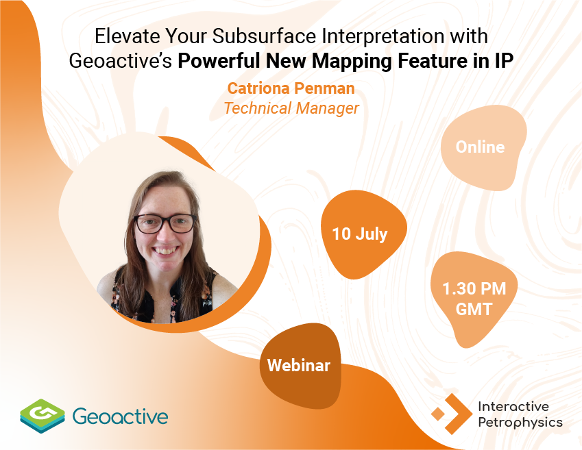
We have enhanced subsurface interpretation with the launch of our dynamic new Mapping feature in Interactive Petrophysics (IP) - a game-changer for geoscientists and petrophysicists alike.
With a seamless workflow starting from the 3D Parameter Viewer, users can now choose parameters or curves and dive straight into Mapping, unlocking a new dimension of spatial analysis. Whether you're starting fresh with a well location map or building complex surfaces, the new tools under the View tab > Mapping make it intuitive and efficient for everyone.
Here’s what makes this feature stand out:
- Seamless Integration: Bring in seismic surfaces and faults to enrich your geological context.
- GIS Compatibility: Easily add shapefiles to overlay critical geographic data.
- Zonal Analysis Tools: Visualize and interpret with Bubbles, Analysis Sticks, and Terminal Events.
- Spatial Intelligence: Query and display the spatial distribution of key parameters with precision.
- Interactive Drawing: Use polygons and lines to highlight zones, trends, and anomalies—perfect for enhancing spatial interpretations.
Whether you're mapping reservoir properties or delineating structural features, our new Mapping module in IP empowers you to visualize, analyze, and interpret your data like never before.
Join our next webinar where Catriona will showcase this new mapping feature LIVE.
Meet Your Speaker
Catriona Penman
TECHNICAL OPERATIONS MANAGER & PRODUCT CHAMPION - GEOLOGY
With more than 15 years’ experience, a BSc Hons, Geoscience from the University of St Andrews, and a MSc in Petroleum Geoscience from the University of Edinburgh, Catriona Penman leads our team of technical experts and is responsible for Geoactive’s Interactive Correlations (IC) Well Interpretation software. IC enables confident insight through powerful visualisations and her role includes ensuring the integration of subsurface and geological data management requirements within the capabilities of the software and future-proofing through development for an ever-changing market and evolving in line with customer and industry needs.
Extract additional insights by incorporating cased and open hole data throughout the lifecycle of your well
Using IP's cased hole log analysis modules, Exploration & Production operators and service companies can now oversee every stage of a well's...
Geoactive at the 2023 EAGE Digital conference in London
This year, Geoactive were sharing booth space at the EAGE Digital Conference at the ExCel center in London with our sister companies GeoSoftware and...