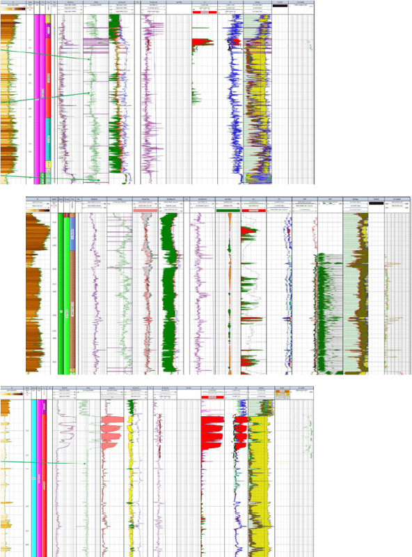
Extensive Data Coverage


Consistent interpretation across all wells
What are you evaluating?
- Store options?
- Barriers and cap rock distribution and viability?
- Nearfield exploration?
- Reservoir characterization quality and quantity?
- Water salinity and migration?
- Migration potential?
Then utilize our North Sea Wells Database
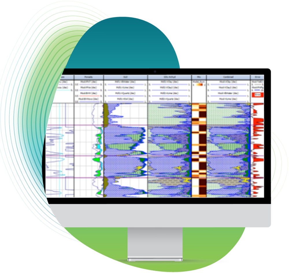
- Comparable Petrophysical CPI for every well showing the volumetric interpretations
- Interpretations by experienced regional geologist
- Utilizing all available data from DISKOS


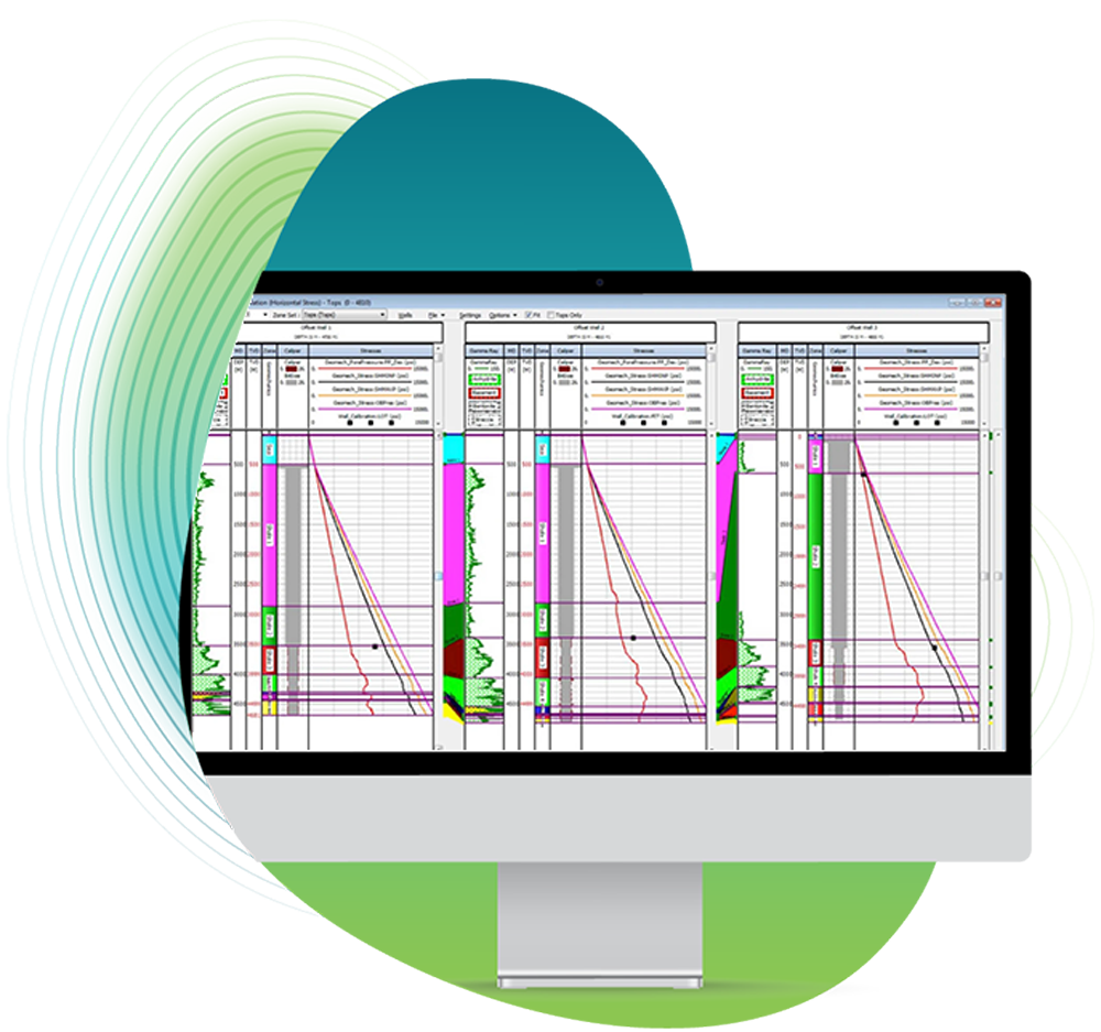
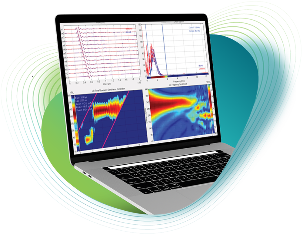
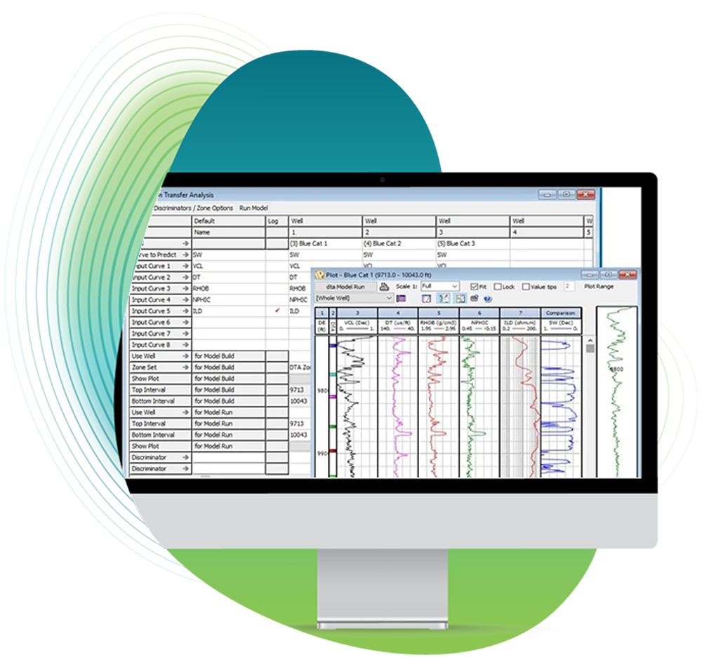
Toolkits