What's New in IC 2024
At Geoactive we don’t get complacent, we are always striving to do better. This year's latest version of Interactive Correlations (IC) has significant usability upgrades that will benefit each of our users. Improved flexibility, additional control and extended options across our maps and charts makes IC 2024 better than ever before.
Improved Flexibility
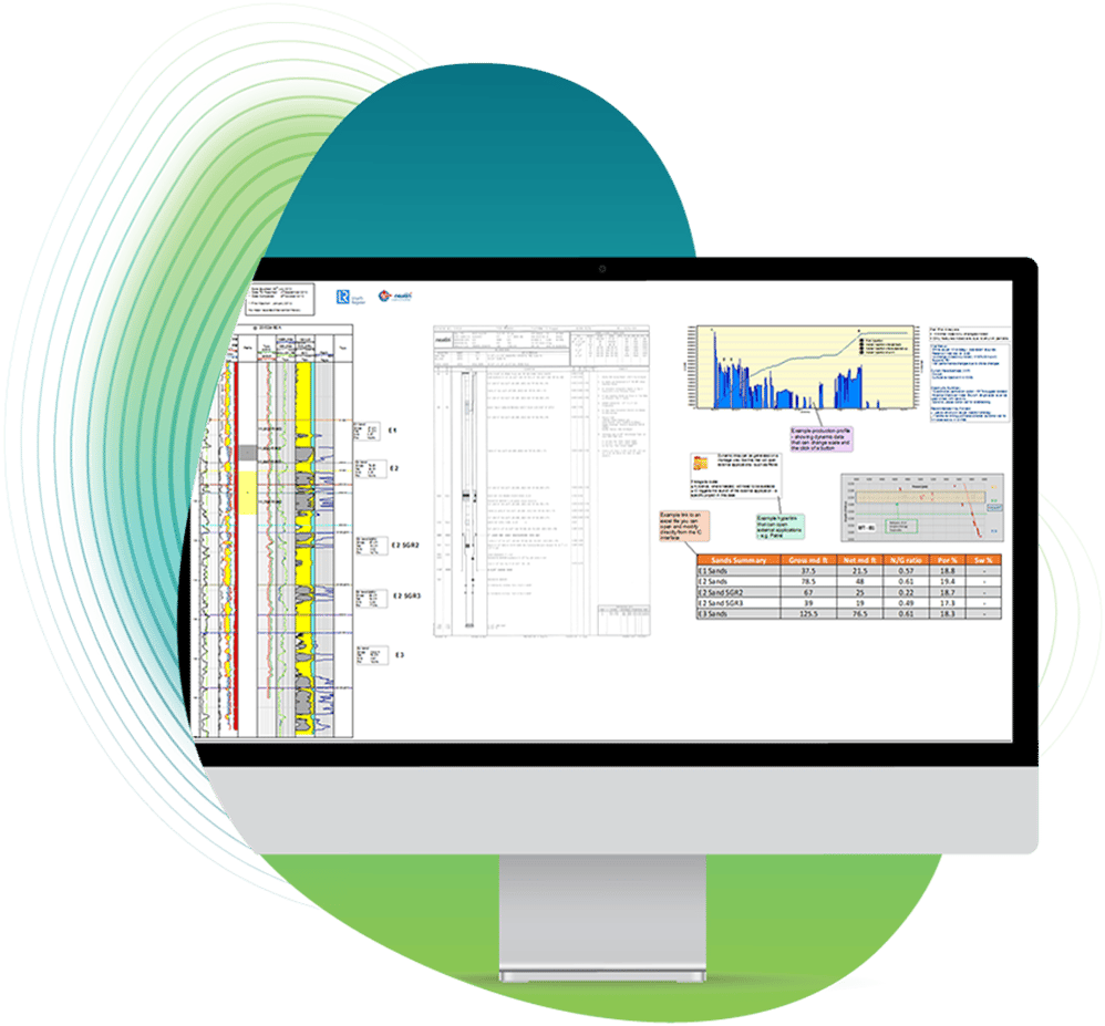
We understand the importance of having the flexibility to work with your data as you need to, so, we’ve been working on improvements to make your life that bit easier while using our IC software. The beauty of IC is that its tools can be applied to any subsurface project, and knowing the wide range of projects utilizing the visualization and data displays already, we wanted to ensure each of our users had access to the choices they need.
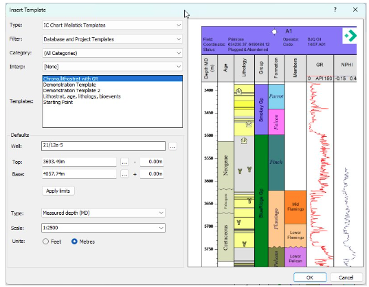
We’ve improved your options when importing data, making integration even more flexible as well as faster, and we've also increased flexibility around data display and interpretation on our interactive Charts and Bubble maps.
Additional Control of Your Data
The ability to control your data and utilize it in different ways according to your project requirements is vital in getting the results you need to better represent and understand your subsurface according to your project requirements.
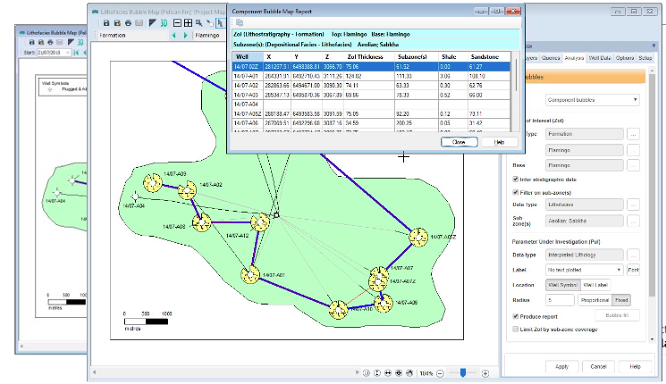
With more control over your well position information and wellpath data added to IC 2024, our users can look forward to more inclusive and explicit maps enabling confident insight through powerful visualization.
Time-Stamped Data
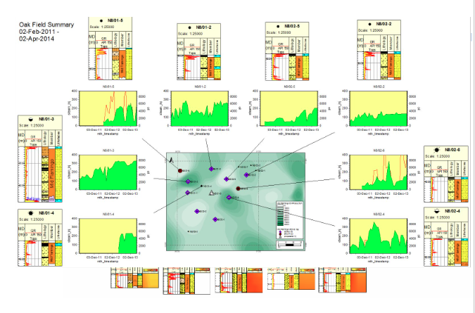
Our users can look forward to adding a new dimension to their subsurface understanding with the addition of our new Monitoring toolkit.
By including the ability to integrate scalable time-data for wells, reservoirs, and even entire fields, and visualize alongside subsurface interpretations will result in complete understanding where the data will speak for itself.
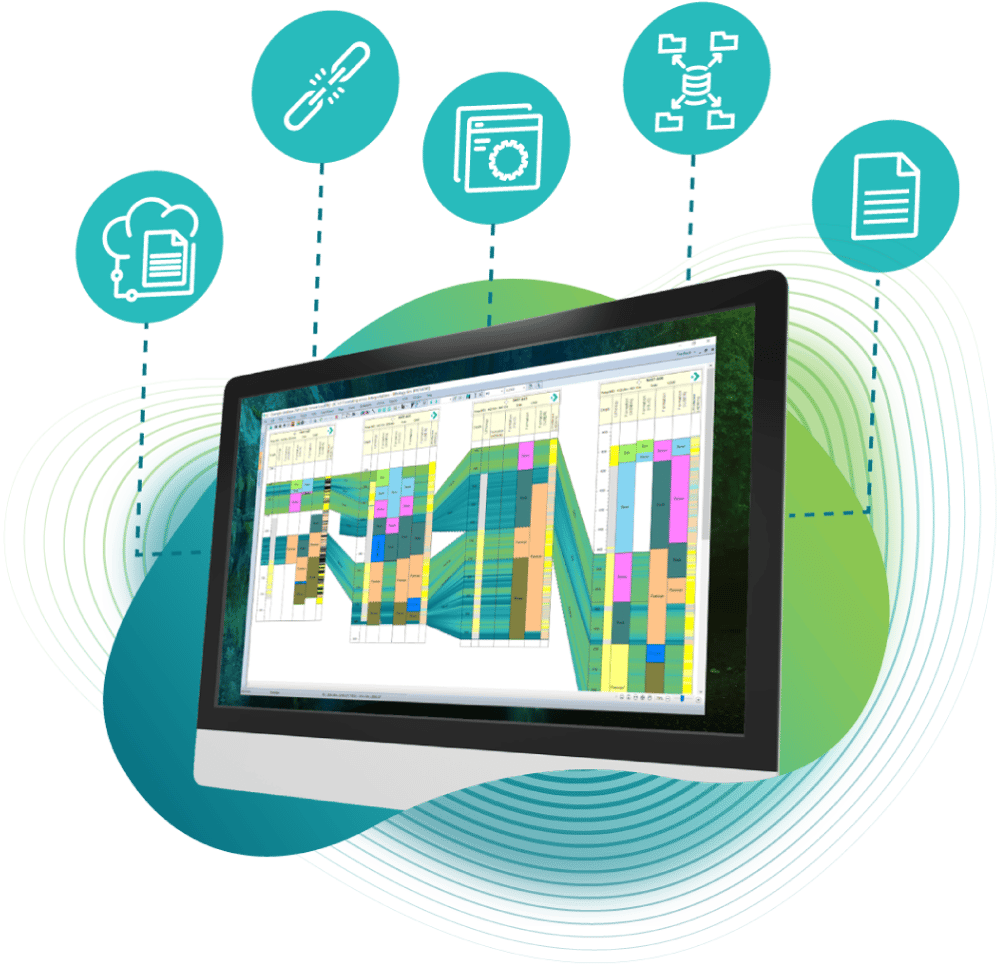
Toolkits